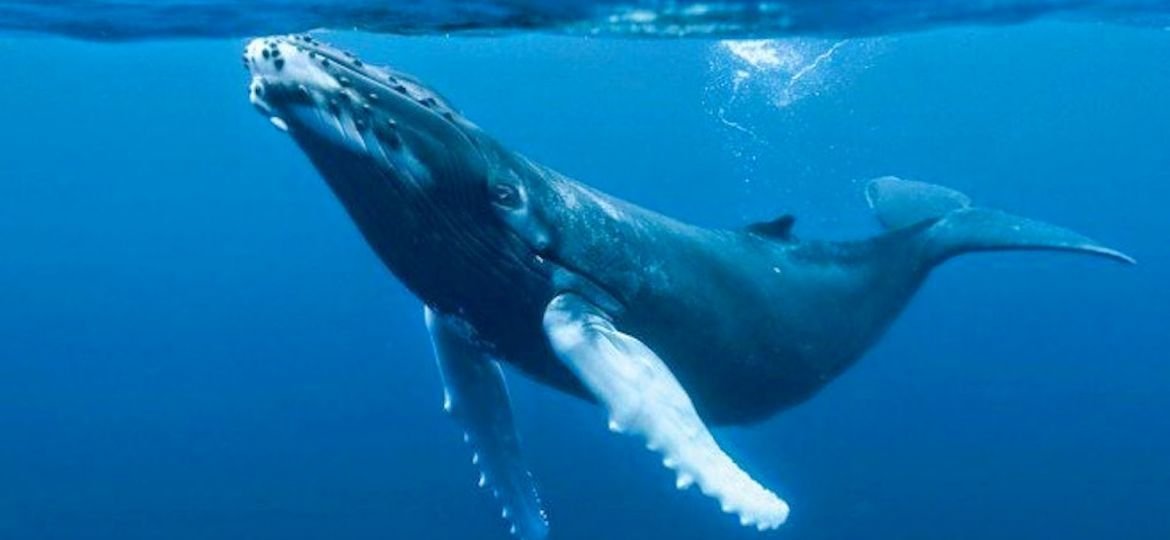
The pilot project seeks to protect these mammals by warning boats of their presence. The instruments will also measure oceanographic variables, such as sea temperature.
The first ones will be installed in front of Chiloé, in the Corcovado Gulf:
Richard García
Project Launch
The project will be presented today in the framework of a webinar about World Oceans Day, between 10 a.m. and 12 p.m. Registration is available at https://tinyurl.com/yaxgveur.
As whaling has been reduced, ship strikes are the main threat to whales today.
The sound emitted by the vessels is at the same frequency as the songs of these animals, so it affects their communications. In addition, the speed at which the ships move makes it unlikely that the animal will be able to avoid vessels before a collision.
To protect these mammals, the Chilean Ministry of the Environment and the Meri Foundation of the Filantropía Cortés Solari group developed the Blue Boat Initiative project, an advanced early warning system that, by means of smart buoys, will provide information to vessels about the close presence of these animals to avoid collisions.
Conservation
The first six buoys of a network expected to comprise several dozen will be installed as a pilot in the area of the Gulf of Corcovado and the surroundings of the island of Chiloé late this year or early next year depending on the pandemic. “It is an area known to be of high biological value since it is where most blue whales gather to feed in the entire Southern Hemisphere. And not only them, but there is also a high percentage of other species such as the humpback, sei and southern frank whales”, highlighted Sonia Español, a marine biologist and the director of the cetacean area of the foundation.
“This is a marine conservation effort, but it also seeks to increase the relevant contribution of the seas in the fight against climate change,” said Carolina Schmidt, the Chilean Minister of the Environment. “The conservation and sustainable management of our ocean and its biodiversity is essential to maintain its unique ecosystems, some of which are fundamental to help mitigate climate change through heat absorption and carbon sequestration or blue carbon.”
In the case of the whales, the IMF economist Ralph Chami has estimated that, during their lifetime, each individual can sequester 33 tons of CO2, that is, 1,500 times the amount captured by a tree. If we also add the contribution of these animals as generators of nutrients (from their urine and feces) that favor the proliferation of other species, including some of fishing interest, and the benefits derived from tourism, the loss of each specimen, which can live up to almost a century, is equivalent to US$ 2 million, which makes its conservation imperative,
“Long-term monitoring of whales in the Gulf of Corcovado will provide information on their populations and will help their valuation as an economic asset and contribution to the conservation of the planet,” said Patricia Morales, General Manager of Filantropía Cortés Solari, who explained the project will require an investment of US$5 million because of the high technology required, which will be co-financed by the foundation and other strategic partners.
According to Morales, the idea is that the first six buoys are activated during the next summer so the system can begin to operate right after the equipment is deployed.
The data of the location of the whales will be received in real time. The buoys will also record oceanographic variables such as sea temperature, oxygen concentration, nutrients and acidity, which will help manage information on variations in the sea in light of climate change.
The project was designed by Sonia Español, who did her doctoral thesis in the Corcovado Gulf on humpback whale communication and how they are affected by maritime traffic. Her work on the subject also led her to develop, together with the Navy’s Directorate General of Maritime Territory and Merchant Marine (Directemar), an instruction sheet on the measures that vessels should adopt when navigating in the gulf to reduce collisions, which mainly involves a decrease in speed.
In fact, the idea is that the information from the buoys will be sent to the Directemar’s coastal stations which will in turn advise the vessels to slow down.
In the future, this same technology of buoys could serve to detect the presence of non-authorized vessels within marine protected areas, said Español.
The researcher hopes that after covering the southern area, the network can gradually incorporate other important points of the whales’ route such as the Strait of Magellan, Chañaral de Aceituno, and the coasts of Antofagasta and Arica. In the long term, it is not ruled out that other countries on the Pacific coast will join the network to cover the whales’ route in its entirety.
Source: El Mercurio

